
Tutorials and Workshops
-

On the sidelines of ISPRS Technical Commission III Mid-term Symposium ON Remote Sensing 4-8 November 2024 Belém, Brazil
Dr. Catherine Nakalembe led a Cropland Mapping Tutorial during the ISPRS Technical Commission III Mid-term Symposium on Remote Sensing in Belém, Brazil (November 4-8, 2024). The half-day workshop offered a comprehensive introduction to crop mapping, covering remote sensing fundamentals, visual map assessment, and cropland classification using Machine Learning. A second session, held at Universidade do Estado do Pará (UEPA) and led by Dr. Rodrigo Rafael and his students, focused on practical data collection through field visits and training on Helmets collection tools.
-
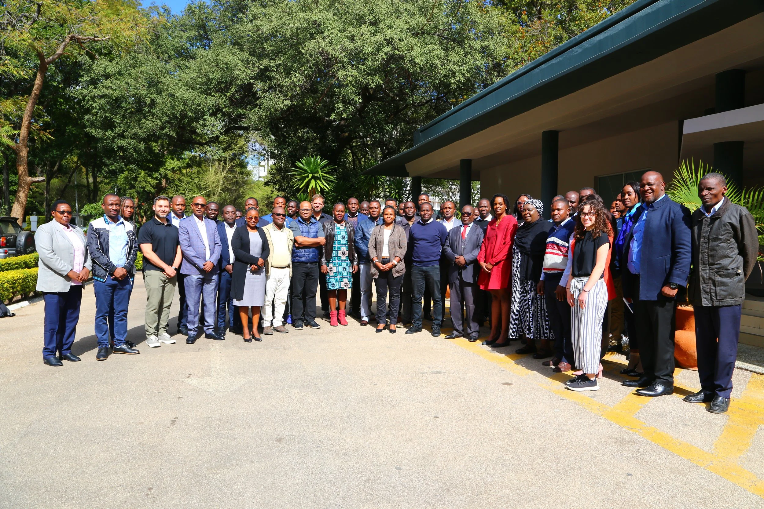
Zambia Crop Monitoring Training 2024
The University of Maryland, NASA Harvest Program, supports governments in developing crop monitoring systems and building capacity through GEOGLAM Crop Monitors. The Harvest Africa team organized training with CIAT and ICPAC from June 11-14, 2024, to launch Zambia's Crop Monitor and update analysts from other East African countries.
-
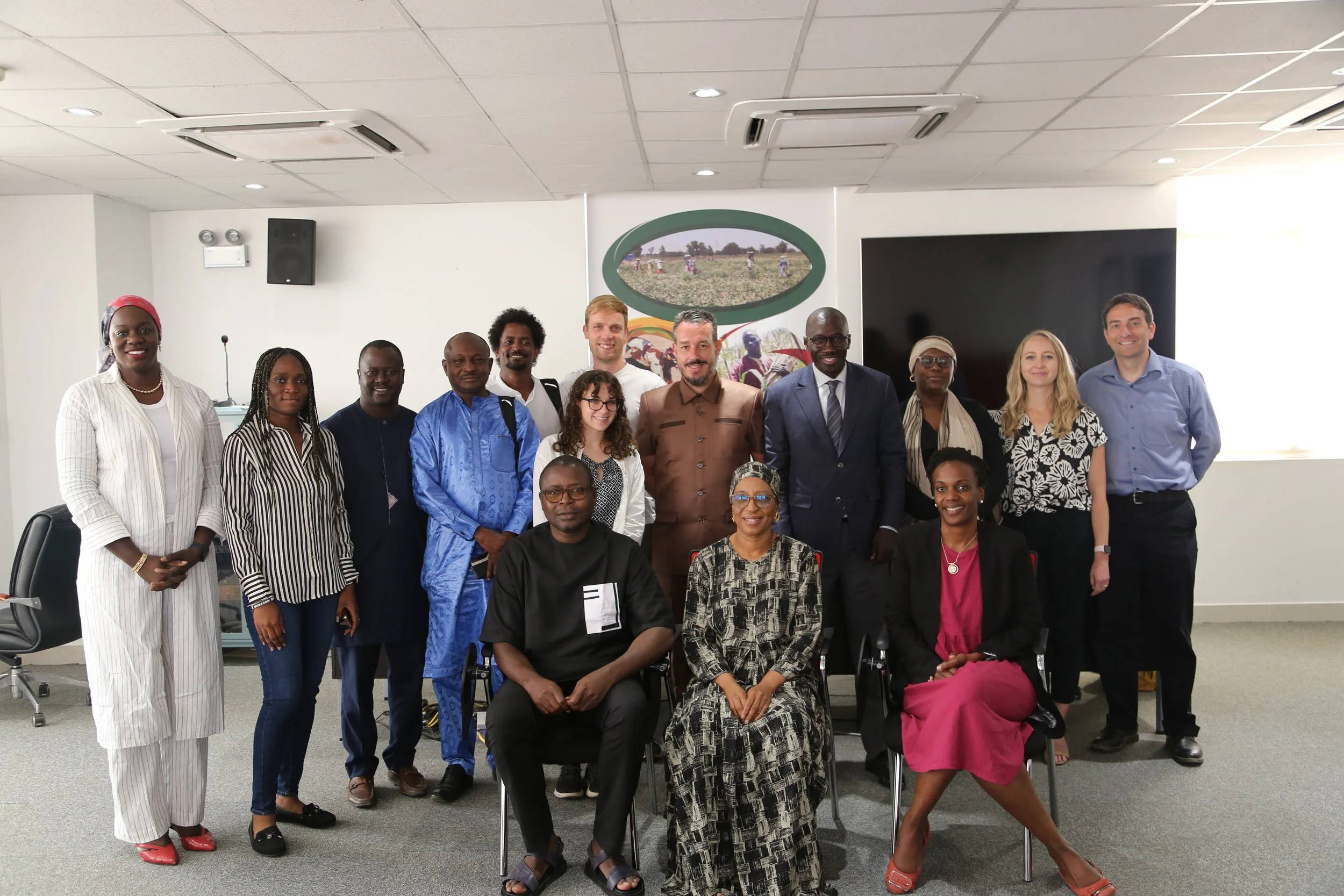
Senegal Cropland Mapping Training 2024
Under NASA SERVIR's EO-NAM project, the University of Maryland team led training from June 3-7, 2024, to train analysts from CSE Senegal and ICRISAT. The sessions focused on developing cropland maps using Google Earth Engine and semi-automated approaches for agricultural monitoring in West Africa to support food security assessments.
-

Enabling Crop Analytics at Scale (ECAAS) workshop, July 2023
In support of AGRA’s Regional Food Balance Sheet (RFBS), the NASA Harvest team at the University of Maryland (UMD) is developing a regional yield sampling framework for evaluating and building a consistent ground dataset for regional yield assessment. This new project, “Developing a Framework for Regional Yield Data Collection,” is supported by the Enabling Crop Analytics at Scale (ECAAS) initiative and builds off the success and lessons learned from NASA Harvest’s ECAAS Phase-1 project.
-

Machine Learning for Remote Sensing Workshop ICLR 2023 Workshop
Remote sensing data (also referred to as Earth observation or satellite data) has become an increasingly popular modality for machine learning research. This interest has largely been driven by the opportunities that remote sensing data present for contributing to challenges urgently important to society, such as climate change, food security, conservation, disasters, and poverty. This growing interest in ML research for remote sensing data is also driven by the challenges presented by its unique characteristics compared to other data modalities (e.g., images, text, video). Remote sensing datasets are very high-dimensional and often have spatial, temporal, and spectral dimensions more complex than traditional RGB images or videos. The diversity of instruments used for observing the Earth at different wavelengths, temporal cadences, and spatial resolutions has driven active research in domain adaptation, data fusion, and other topic areas. In this workshop, we aim to stimulate and highlight research on new methods, datasets, and systems for machine learning for remote sensing.
-

Machine Learning for Remote Sensing: Agriculture and Food Security
CVPR Tutorial: June 20, 2022 1:30-5:30 pm
This tutorial will cover fundamental topics of machine learning for remote sensing applications in agriculture and food security, focusing on the African context. You can find the full list of tutorials on the CVPR 2022 website. You must be registered for the conference to attend the tutorial, which is being held in person.