Building Earth Observation & AI Systems for Food Security and Climate Resilience
Building a more resilient, data-driven food system by bridging the gap between satellite insights and ground-level action

The Problem
To feed a growing global population, we must produce more food in the next few decades than in the previous centuries, at a time when climate volatility is making our traditional agricultural cycles unpredictable.
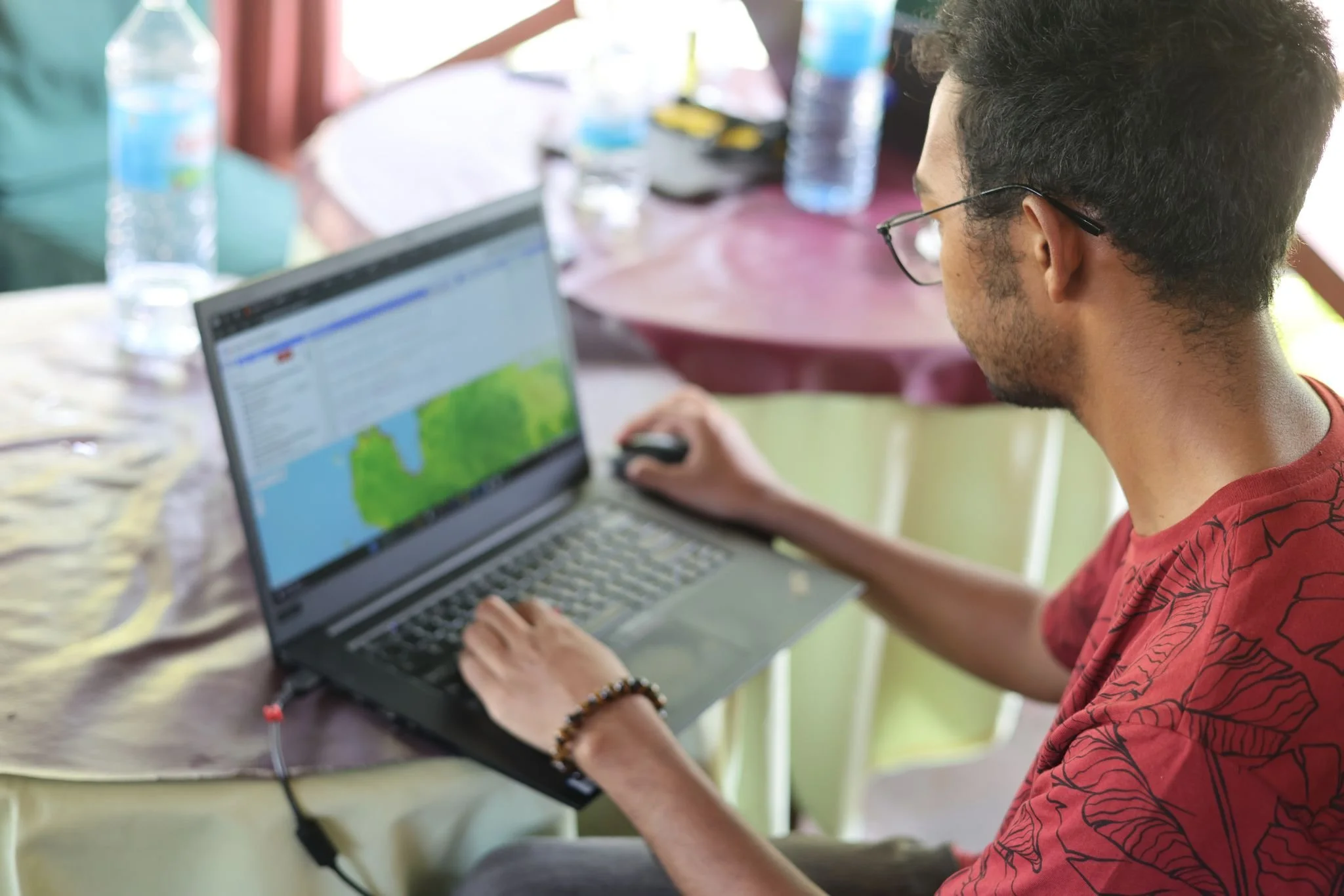
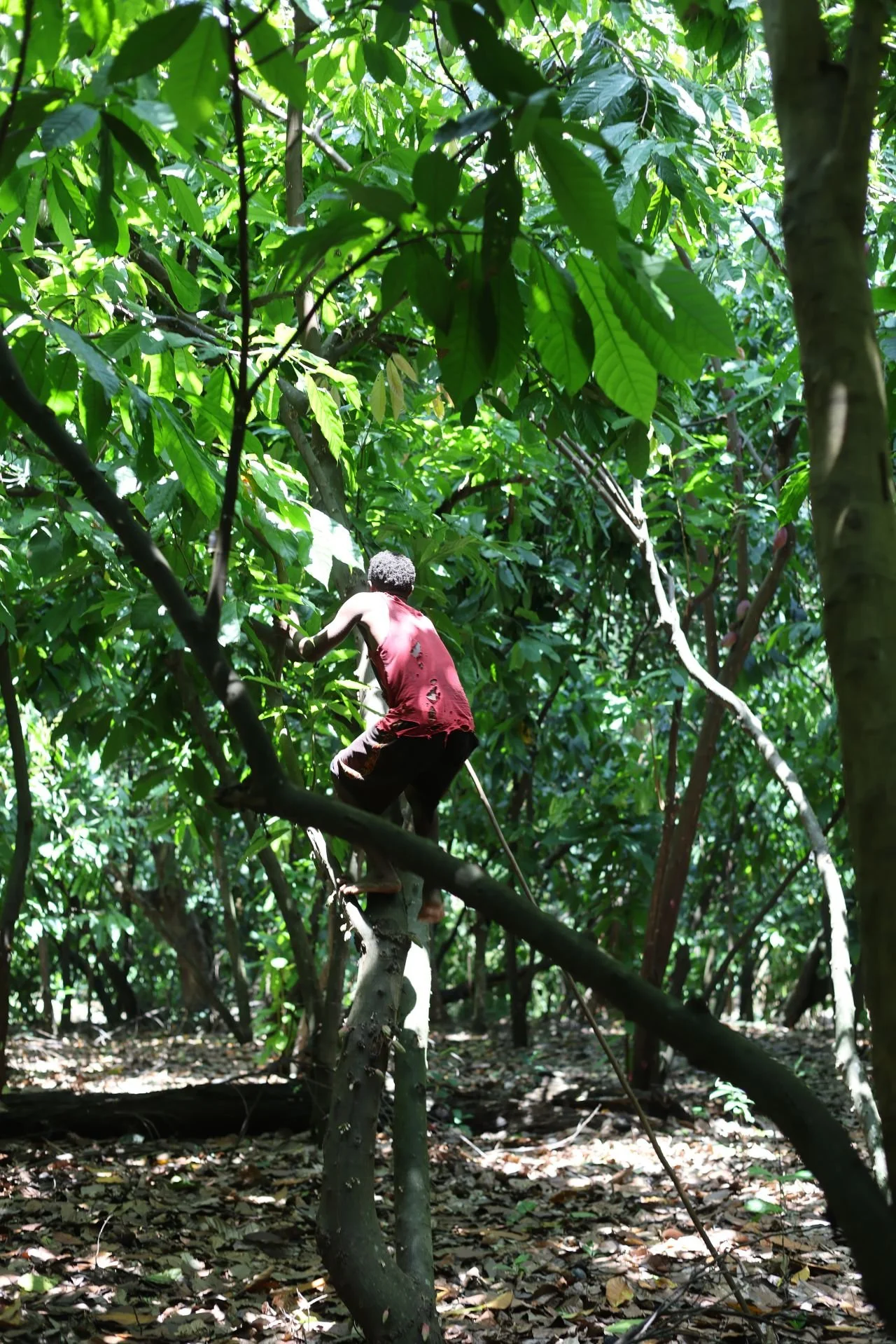
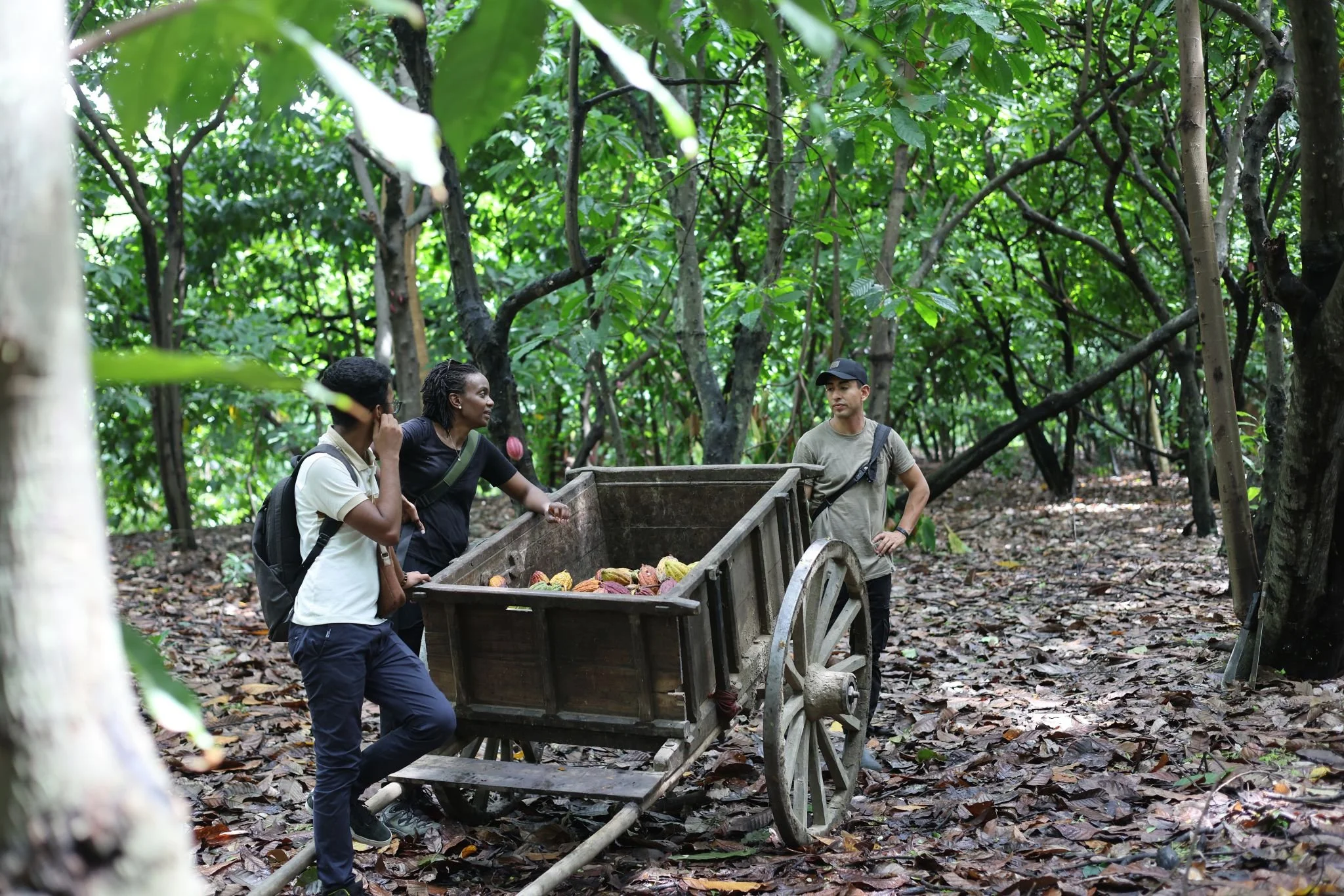
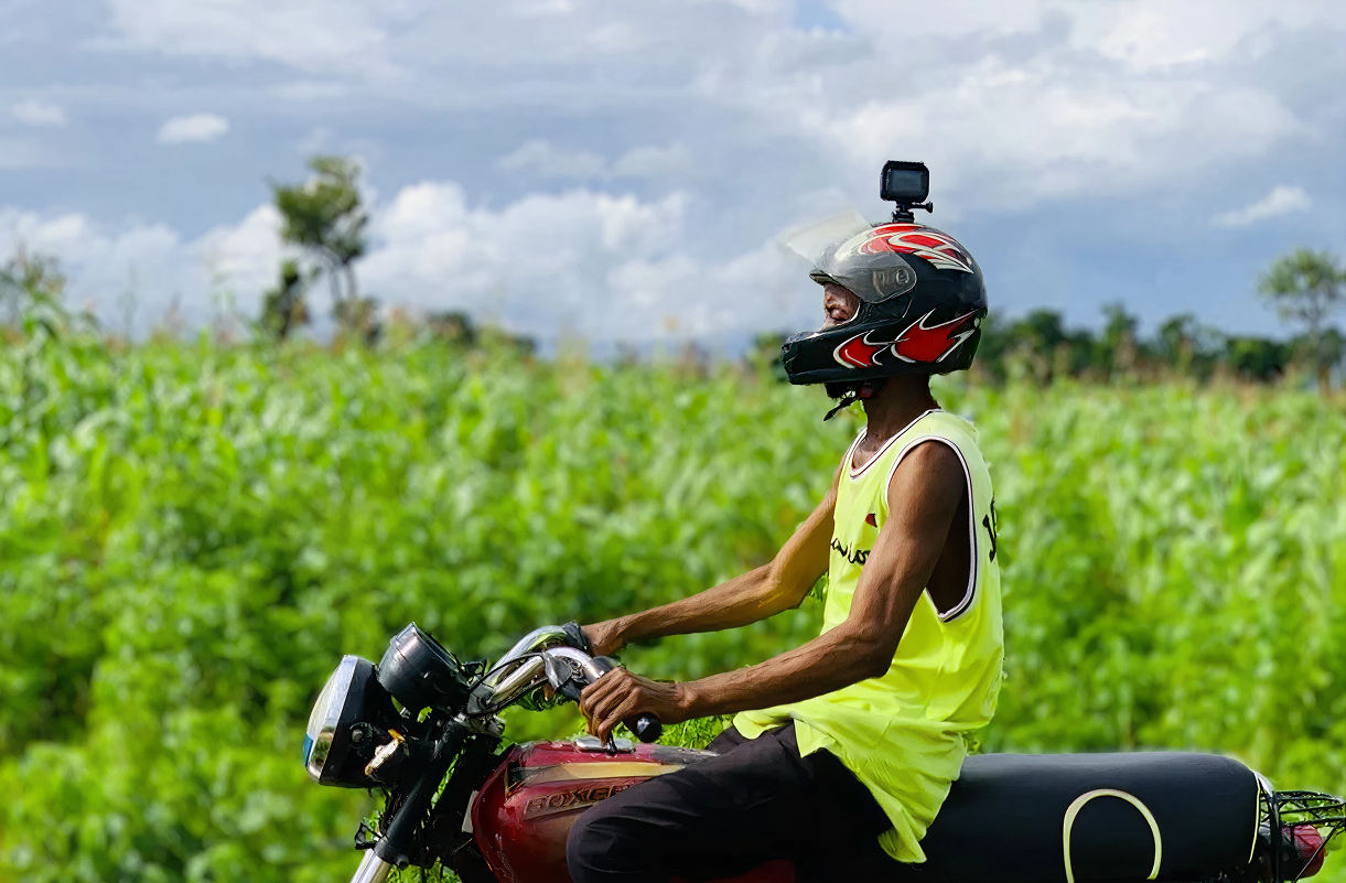
Until now, the world’s approach to Earth Observation has been top-heavy. We have access to petabytes of satellite imagery and advanced GEO-AI models, but a critical "last-mile" gap remains. High-level data often fails to reach the hands of those who need it most: the smallholder farmers, local governments, and NGOs making daily decisions on the ground.
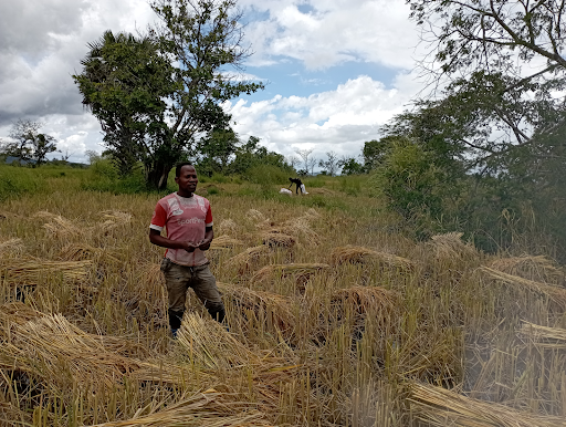
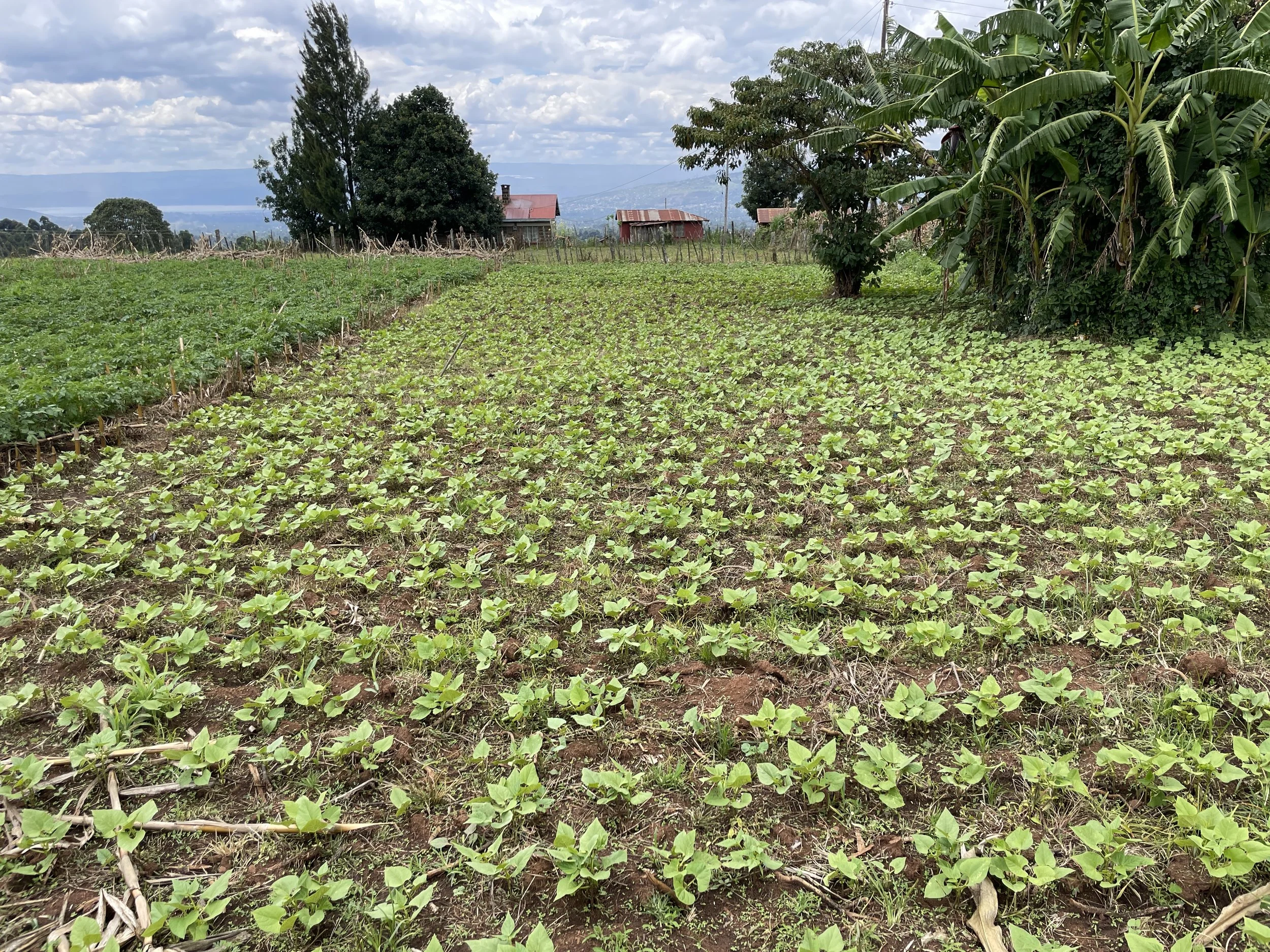
Current systems are often standardized for large scale industrial farming. When applied to diverse, smallholder landscapes, these models lose precision. This lack of localized, actionable intelligence creates a cycle of vulnerability, where crop failures are detected only after they occur, and resource allocation remains reactive rather than proactive.
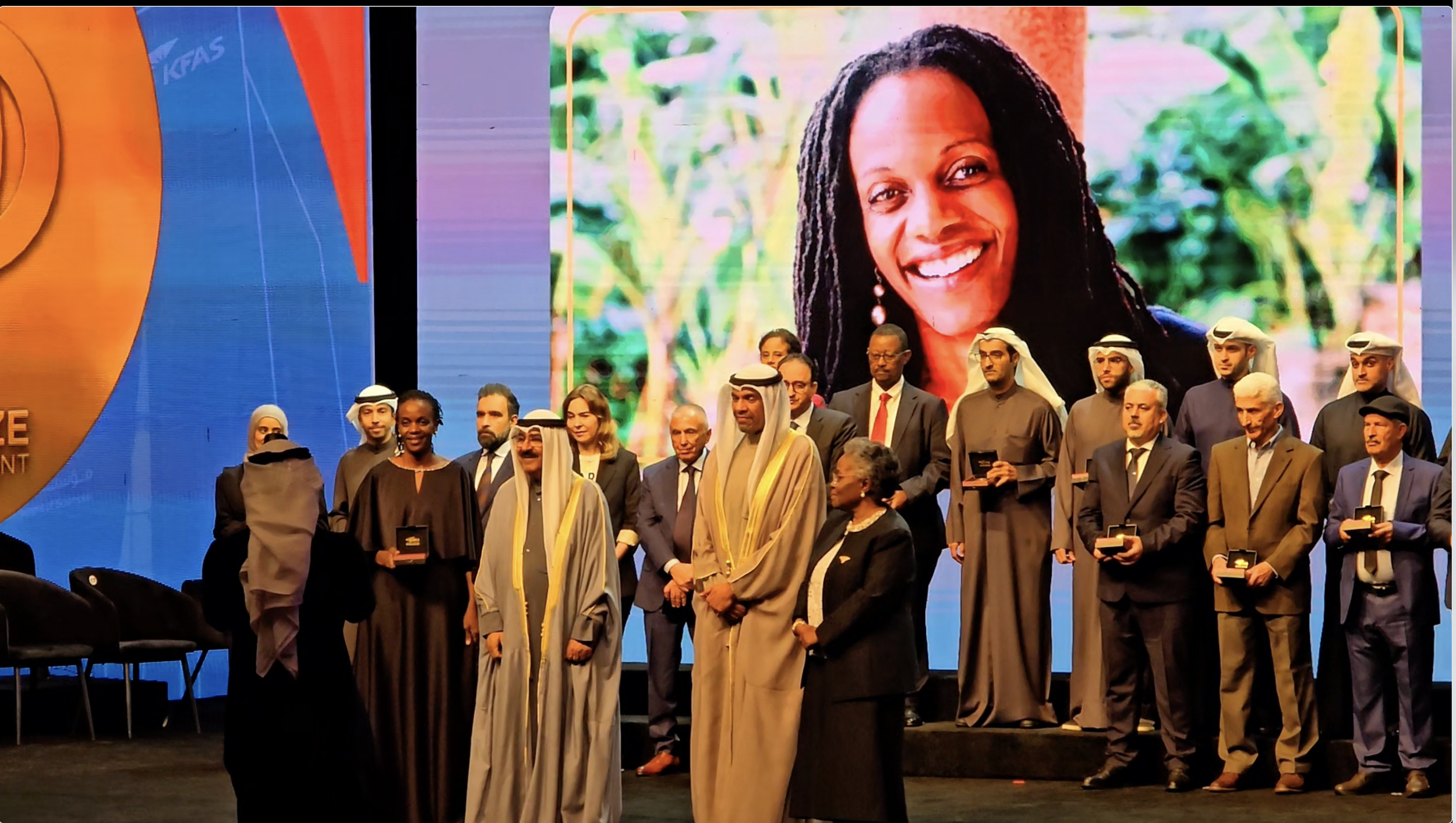
More than 8,000 satellites orbit Earth, taking photos every day. Food security specialist and TED Fellow Catherine Nakalembe shows how she uses this imagery to help smallholder farmers across Africa prepare for floods, droughts and crop failures. Learn why real innovation isn’t always about shinier technology
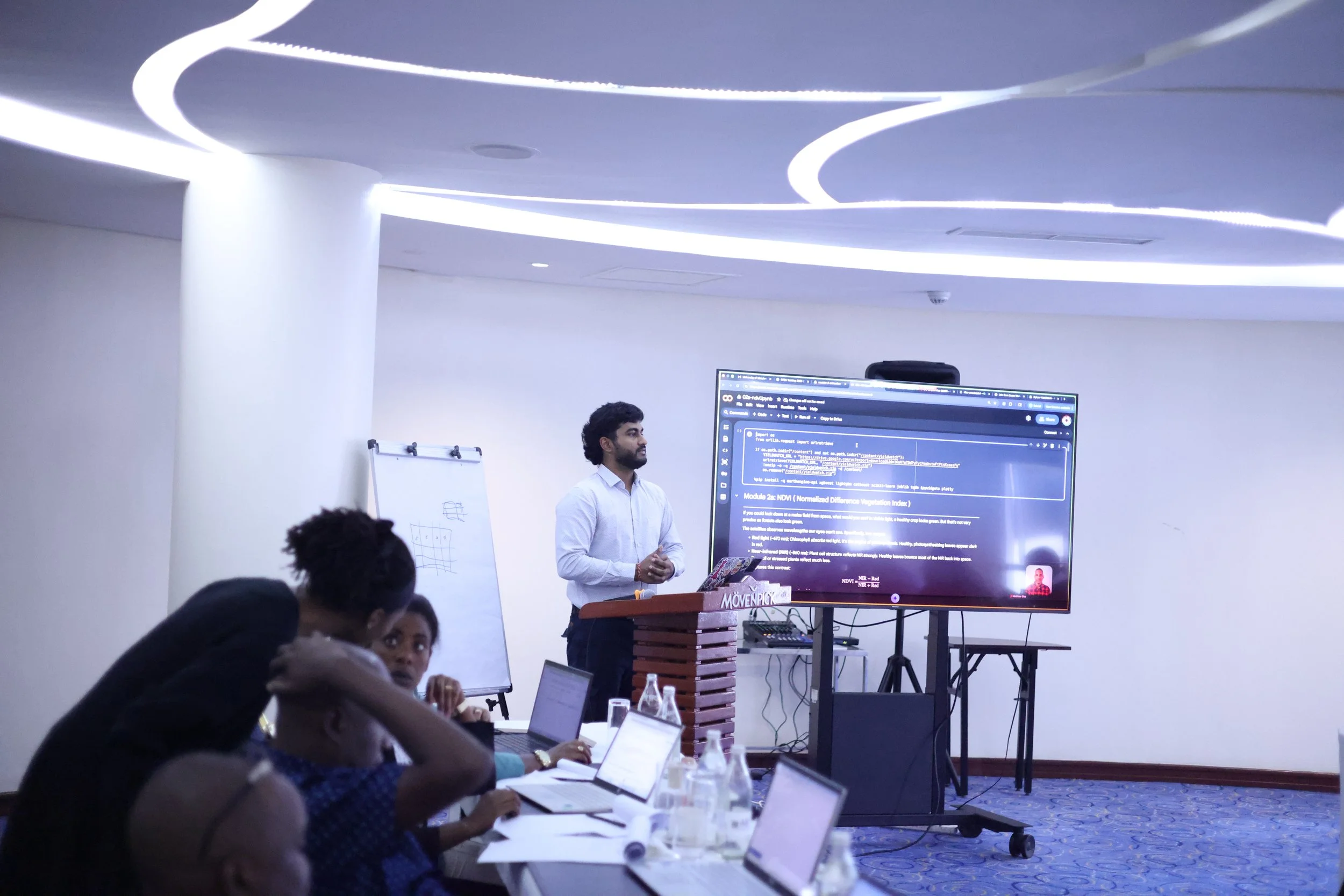
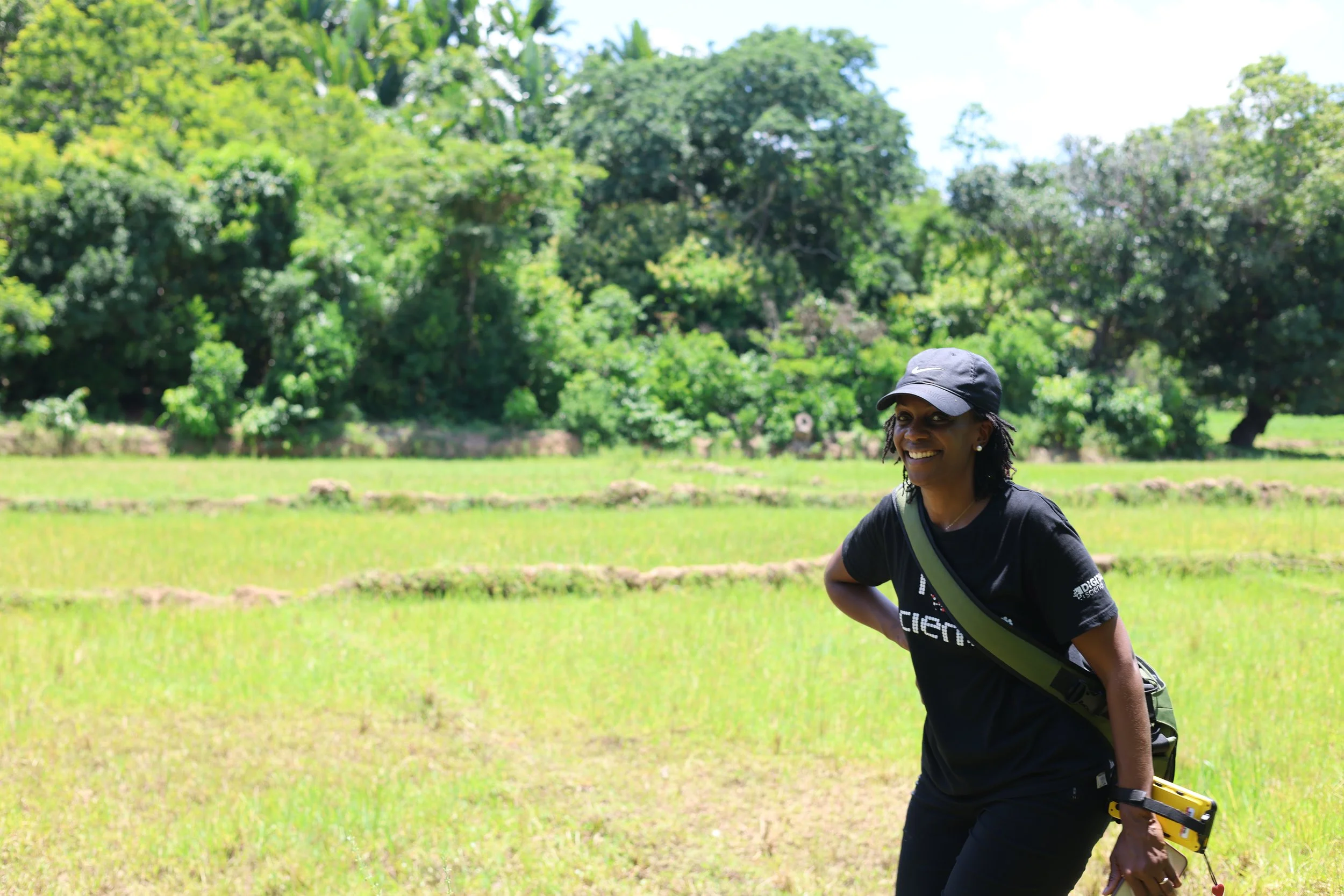
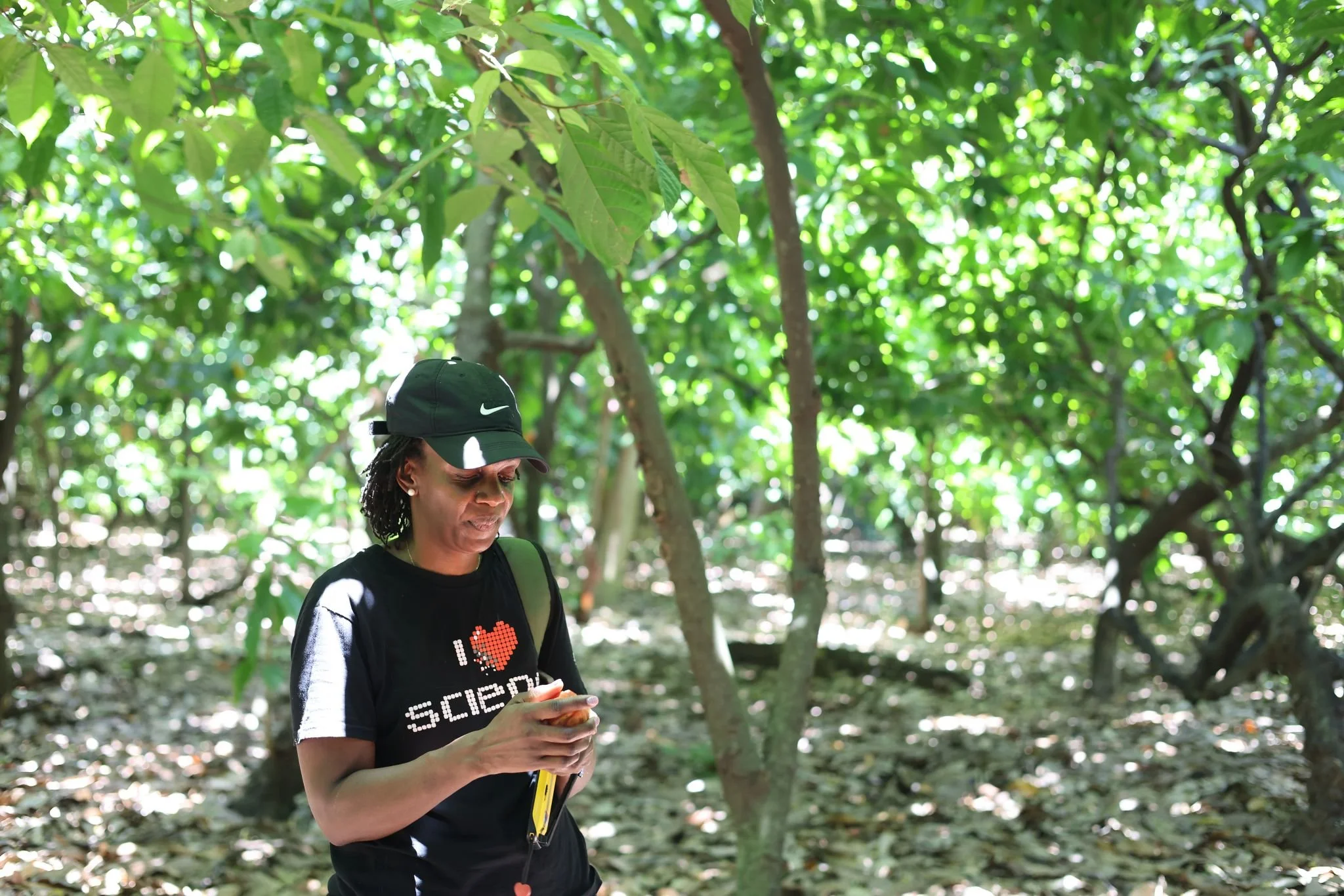
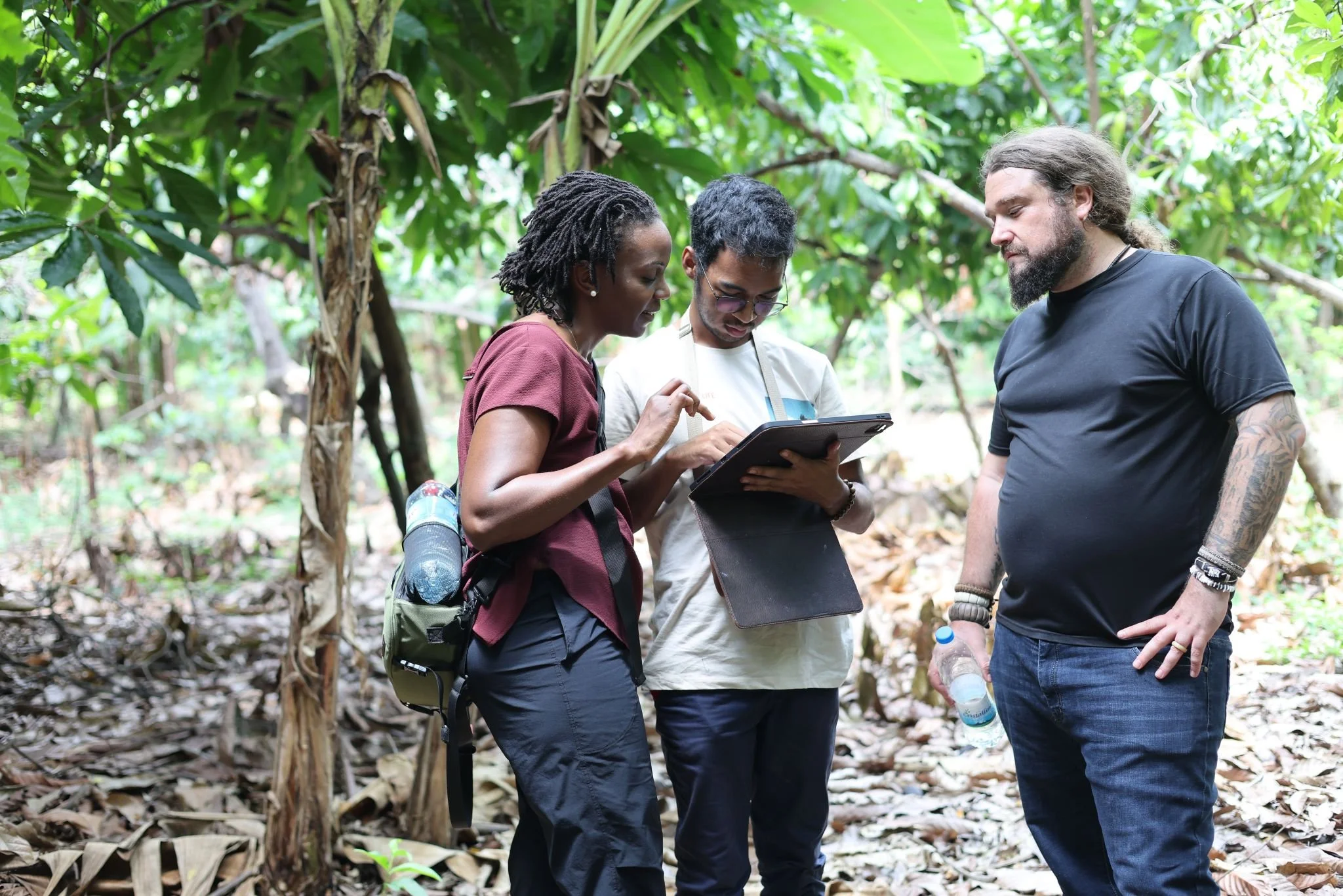
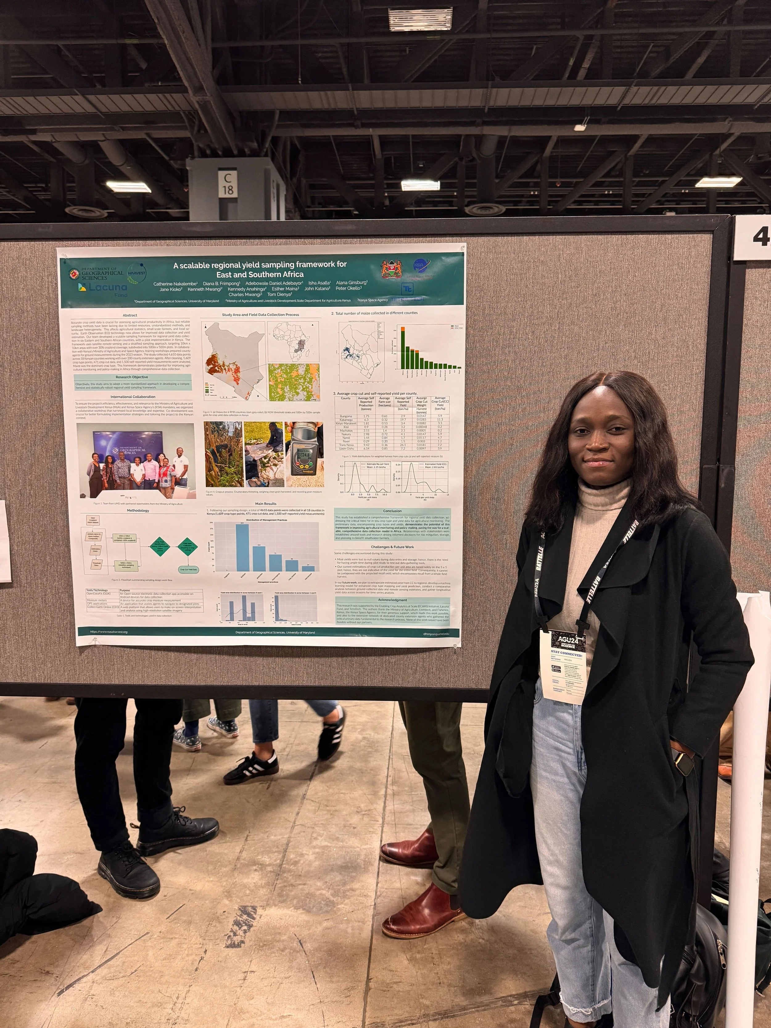
Research Active Across 30+ Countries
Projects and partnerships spanning Sub-Saharan Africa, East Africa, Latin America, and Asia, translating satellite data into decision-ready intelligence for smallholder farmers and policy makers.
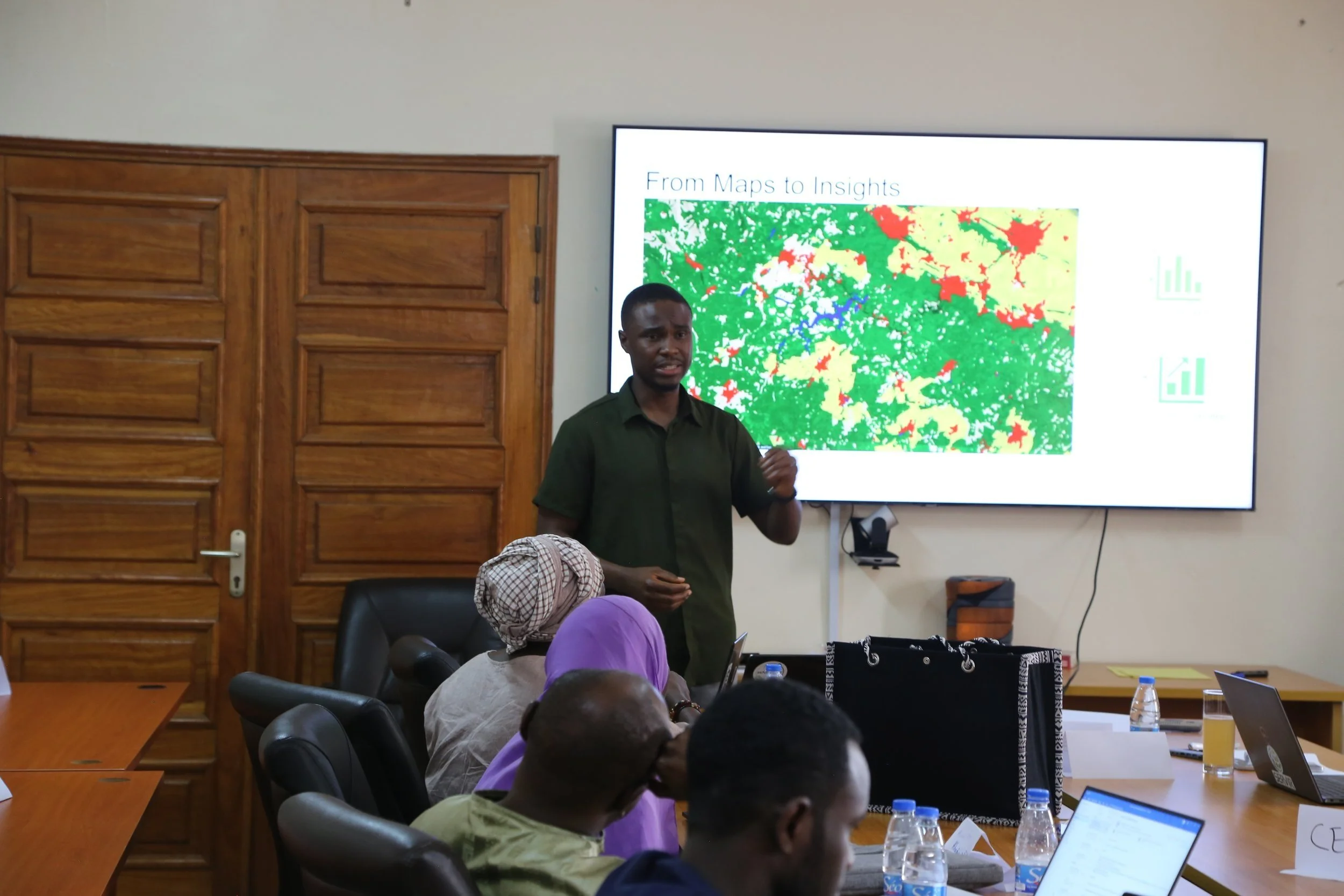
The Preparedness Gap: Moving from Data to Decision.
While we possess the technology to sense a drought months before it arrives, millions still face the preventable reality of food insecurity. Real innovation isn't found in the newest or 'shinier' satellite; it is found in closing the 'last-mile' gap, ensuring that localized, evidence based intelligence reaches the hands of the farmers and policy makers who must act on it. At XylemLab, we don't just build systems for observation; we build systems for resilience.
The Evidence of Impact
Countries where our models are being calibrated — from the Mid-Atlantic to Sub-Saharan Africa.
Stakeholders engaged across diverse ecological zones and agricultural decision-making bodies.
Faster resource response times achieved by integrating GEO-AI early-warning signals in our pilot.


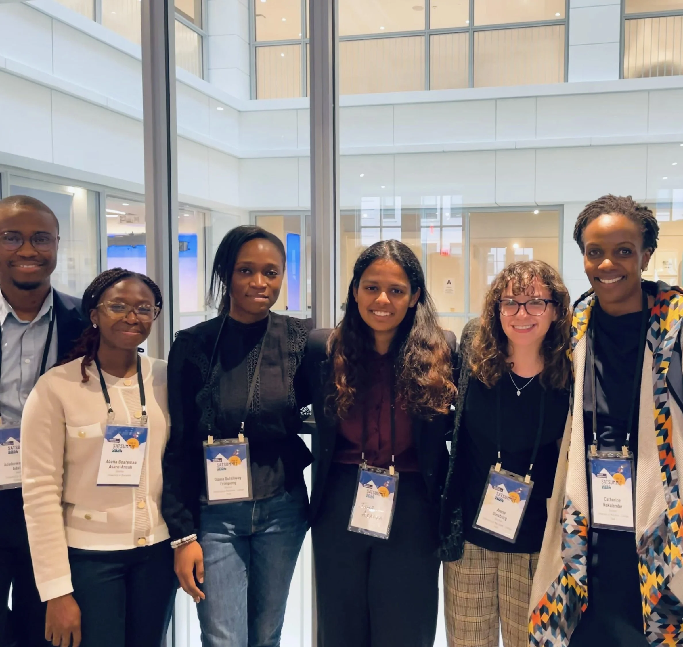
Grateful for Our Funding Partners


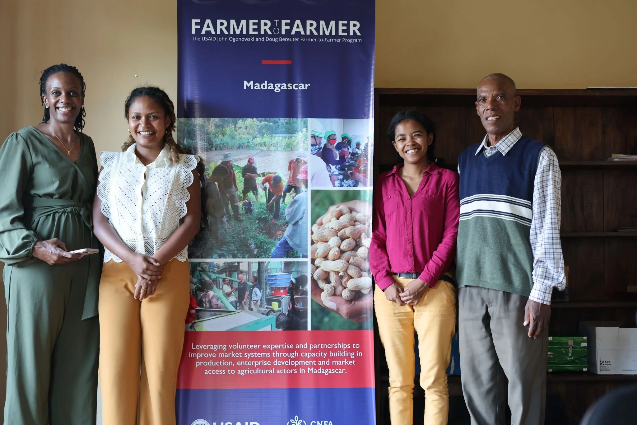
Our Partners & Collaborators